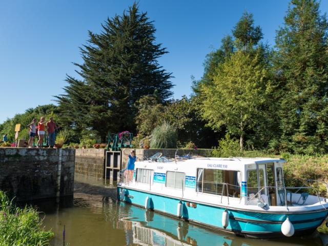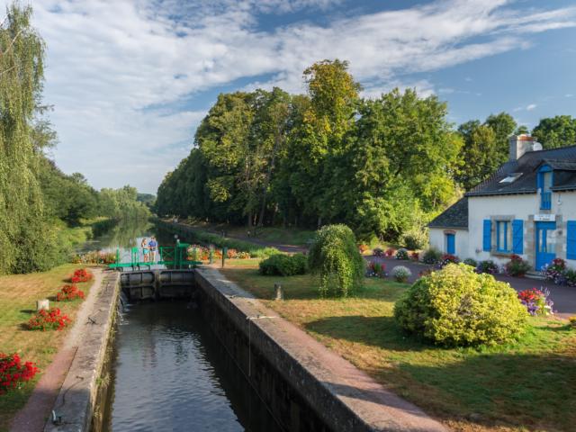
Without car and therefore without danger, most often shaded and protected from the wind, the Redon-Pontivy section is suitable for all publics (117 km – 91 locks). To be done in one afternoon, one day or as a multi-day excursion, with family or friends. From Redon, crossroads of the waterways of Brittany, a slow ascent along the river Oust takes us to the small port of Peillac and the Pont d’Oust where there is an important open-air base for sports and cultural activities. The journey continues towards Malestroit, classified as a city of character and also known as the “Pearl of the Oust”. In Josselin, a town built on the side of a hill, you will discover the imposing castle of Rohan which is reflected in the Oust. Les Forges, Rohan and many other charming and welcoming towns will accompany you to Pontivy.
Prepare your roaming project
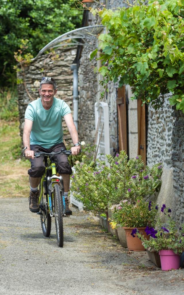
Itinerancy along the canal: towpath & Vélodyssée
– Destination Broceliande has along the canal from Nantes to Brest 2 stages of the Euro Vélo 1 Vélodyssée namely:
– Pontivy-Josselin – 48.17 km stage with its 54 locks
– Josselin-Peillac – 45.83 km with its towpath of the Nantes to Brest canal
– In order to properly identify your different stages and know if you will find equipment along the route, consult the interactive map made by the Brittany region, you will find in particular the location :
🗸 Public toilets.
🗸 Water points hikers.
🗸 Some showers.
🗸 Benches and picnic tables.
🗸parkings
– To complete this data you can also find a lot of other information on the dedicated websites:
🗴 Of the navigable waterways of the Brittany region: for regulatory information and notices to hikers regarding access or not to the towpath.
🗴 From the Vélodyssée: to download GPX tracks and get information along the route.
🗴 France Vélo Tourisme: in addition to the Vélodyssée website to download GPX tracks and get information all along the route
Itinerancy from the canal to the Broceliande forest
– Greenway #3 connects Saint Malo to the north to the Rhuys peninsula in the Gulf of Morbihan further south. The route crosses the canal 3 times between Guillac and Malestroit. This is the route you should take if you want to get closer to the forest of Broceliande and its legends. The route is very safe because it is in a dedicated lane between Mauron and Questembert.
☀ Tip : To get to the forest of Broceliande and its main legendary sites as quickly as possible from the greenway, exit at a place called Kermagaro and follow the signs for Néant-sur-Yvel. Once you arrive in Néant-sur-Yvel you can quickly reach Tréhorenteuc via the D154 to visit Le Val Sans Retour, the Golden Tree, the Church of the Grail, and the many other surrounding legendary sites.
You can download our fact sheet on the Greenway #3 to help you!
 Guillac Accueil Vélo Anti Coz 880 2016 ©e.berthier
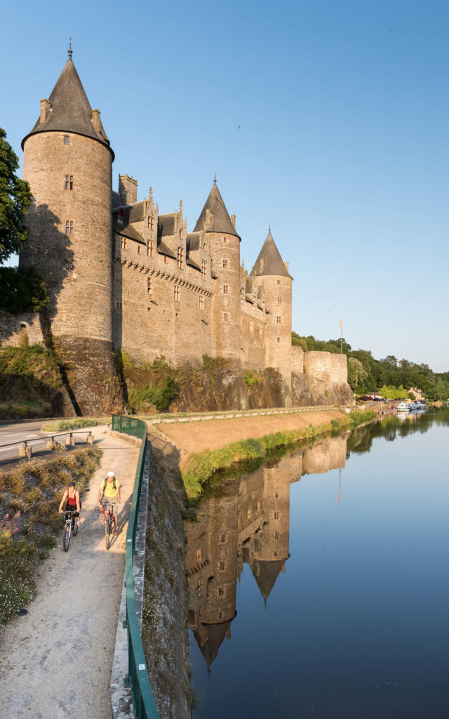 Voie verte, Josselin.